Secondary City Denpasar Implementing GIS to solve
waste management issue
Secondary Cities (2C) is a project initiated by US State Department Office of the Geographer to create partnership, enhancing the ability to improve decision making process through data and mapping.
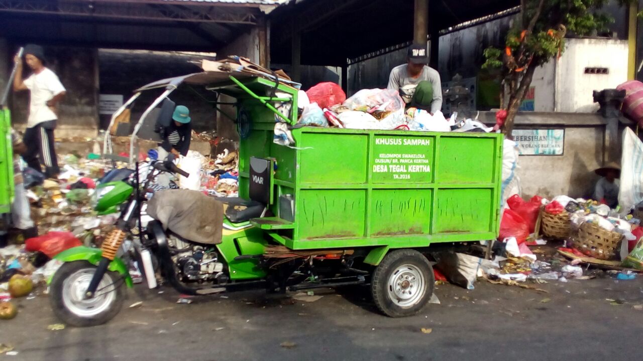
Situated on the Island of Bali, Denpasar is the capital city of Bali province and a major tourist destination. The City of Denpasar is one of the fastest growing cities in Indonesia with a population of over 897,300 residents (Department of Statistics Denpasar, 2016). From 2011 to 2016, the urban growth rate has been approximately 2% every year. Greater Denpasar spills out into the tourist regions of Kuta to the south and Ubud to the north. Tourist development, inter-island migration, and rapid urban growth have contributed to waste and environmental management challenges.
2C Denpasar focused on collecting baseline information on waste management in relation to the rapidly growing tourist centers. Coordination with the tourism industry and the city administration of Denpasar is a key aspect of this project.
The project goal was to establish a model waste management system in Indonesia working with local TPSTs (integrated waste facilities) and waste banks in metropolitan Denpasar, and also to develop standard management tools through the use of geospatial data and Information and Communication Technologies (ICT) to improve overall management, services, and planning. Geospatial data was collected to provide the foundation for a waste management system working with local waste collectors and facilities, villages, private sector, and waste banks in metropolitan Denpasar. Subsequently, the lessons learned will be replicated at similar facilities in the regions surrounding Denpasar.
Project status : Completed (2016 - 2017)
Cities
People
Months
Project source: Click Me
Supported by:


